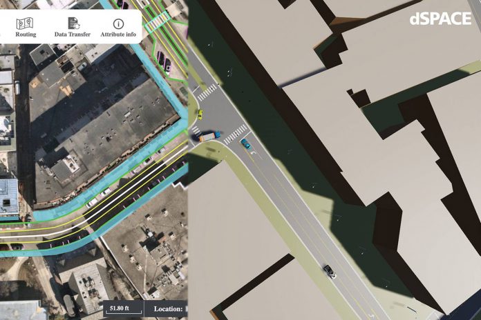
GeoMate and dSPACE have announced a partnership that will look to accelerate the development of ADAS and autonomous driving technologies in continuously expanding operational design domains (ODDs).
Through the partnership, GeoMate, itself a company specializing in AI-based mapping, will integrate its OpenDRIVE road network definitions and highly automated, consistent 3D models of the real-world environment into dSPACE’s simulation ecosystem.
The integration of these models, the companies say, will enable AV developers to more quickly carry out extensive virtual test drives across various scenarios based on high-resolution geographical image data and deep-learning technology. This accelerated process would in turn improve the accuracy, efficiency, and reliability of simulations and validations of autonomous vehicles, a series of goals that the new partnership is ultimately aiming to achieve.
Verification and validation solutions, such as the dSPACE Automotive Simulation Models ASM and the sensor simulation AURELION, are supplemented with necessary simulation artifacts through cooperation with partners. To facilitate the validation of autonomous driving and sensor functionality, reality-based 3D environment models are required that accurately represent the underlying semantics of the road. By integrating the ASAM OpenDRIVE format into dSPACE’s platforms, GeoMate hopes to give users an advantageous solution that allows them to work collaboratively with compatible testing and deployment software stacks.
With this partnership, GeoMate and dSPACE are more broadly aiming to set new standards in the simulation and validation landscape for autonomous driving technologies, while also offering tools that can contribute to the efficient and safe development of future autonomous vehicles.


